Cleartopia Solutions
  • About
  • Drones
    • Skydio Drones
    • Freefly Drones
    • Quantum Systems
    • Wingtra
  • Services
  • Survey Equip.
    • Emlid
    • GeoCue
  • Software
    • Pix4D
    • Point One Navigation
    • Buzz Solutions
  • Data
    • SkyFi
    • EagleView
    • SatVu
  • More
    • Use Cases
      • Asset Inspection
      • Physical Security
      • Surveying and Mapping
    • Training
    • Consulting
    • Customers
    • Charity Partners
  • News
  • Contact
Request a quote
How Autonomous Drones Are Transforming Site Inspections

How Autonomous Drones Are Transforming Site Inspections

by Trent Casi | Sep 30, 2026 | Hardware

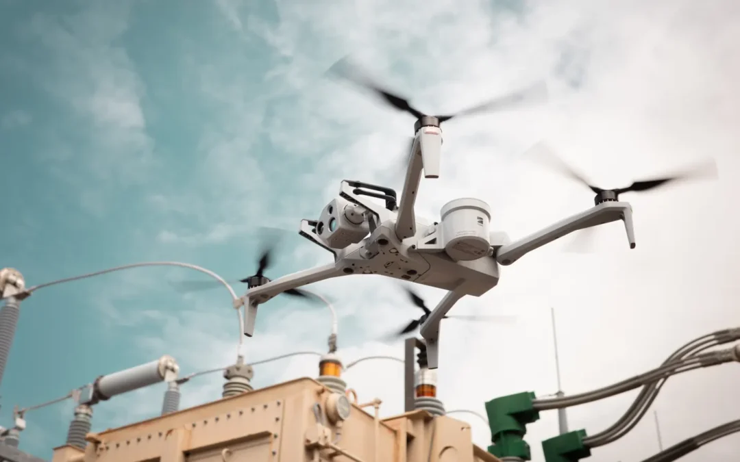
Walking around a massive, dusty construction site with a clipboard is getting old. For years, keeping tabs on big industrial projects meant sending humans into risky spots. But things are changing fast right now. Clunky manual checkups are officially losing ground to...
How to Choose the Right Enterprise Drone Solution: Complete Guide

How to Choose the Right Enterprise Drone Solution: Complete Guide

by Trent Casi | Sep 24, 2026 | Hardware

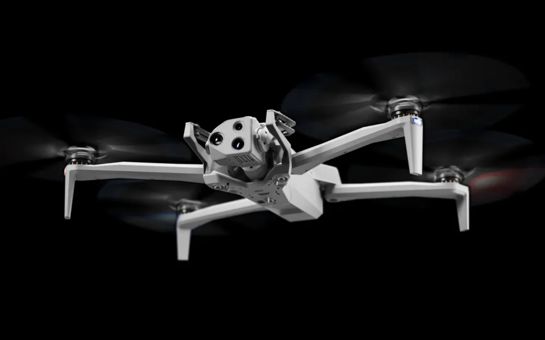
Buying a drone for work isn’t like picking up a toy at the mall. This is a decision that you will make and will bring significant changes in your operations within the business. There are many other factors to consider besides the specifications of the drones, such as...
Why Is High-Accuracy Drone Surveying Essential for Infrastructure Projects?

Why Is High-Accuracy Drone Surveying Essential for Infrastructure Projects?

by Trent Casi | Aug 24, 2026 | Mapping & Surveying

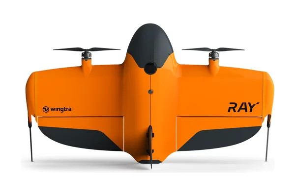
Back in the day, surveying a construction site felt like a slow, painful grind. You’d have crews walking through mud for weeks, just to get a few data points. Thankfully, those days are fading fast. Now, we use aerial tech to get better results in a fraction of the...
How Does Autonomous Navigation Improve Aerial Survey Results?

How Does Autonomous Navigation Improve Aerial Survey Results?

by Trent Casi | Aug 14, 2026 | Mapping & Surveying

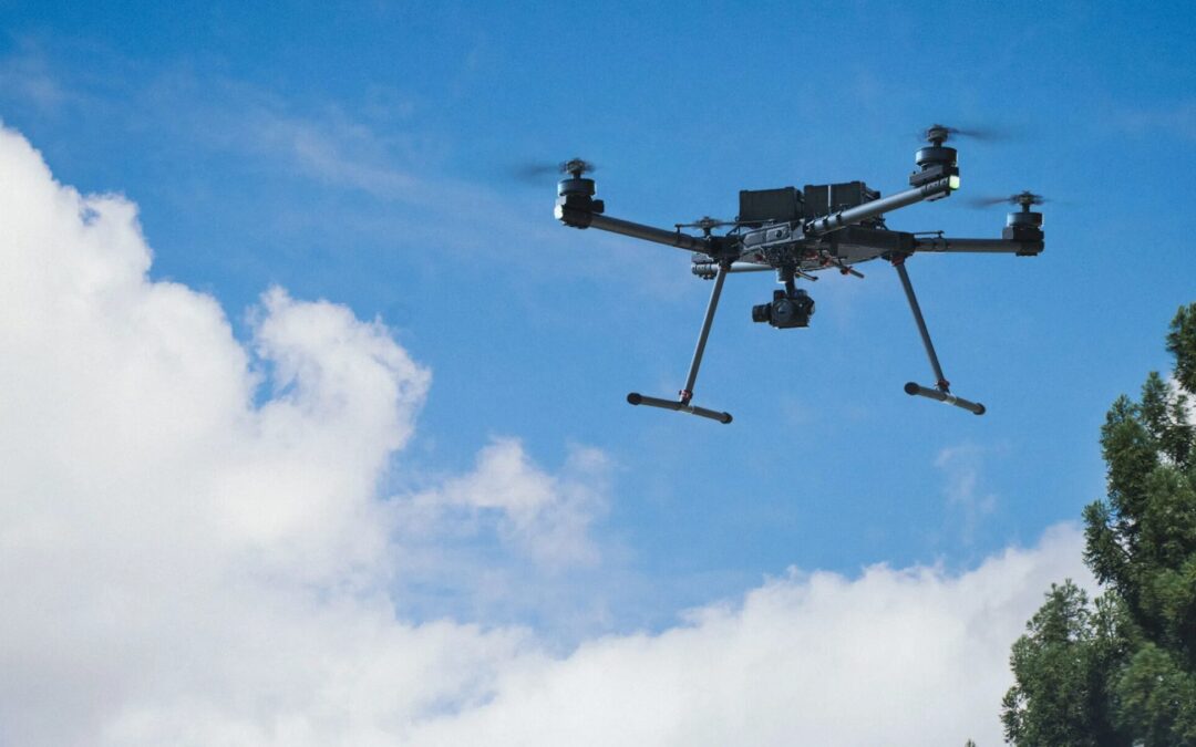
Surveying used to be a headache. You’d spend hours manually flying drones, worrying about crashes or missed angles. It was exhausting. Now, autonomous tech has flipped the script. When you use skydio mapping drones, the drone handles the flight path while you handle...
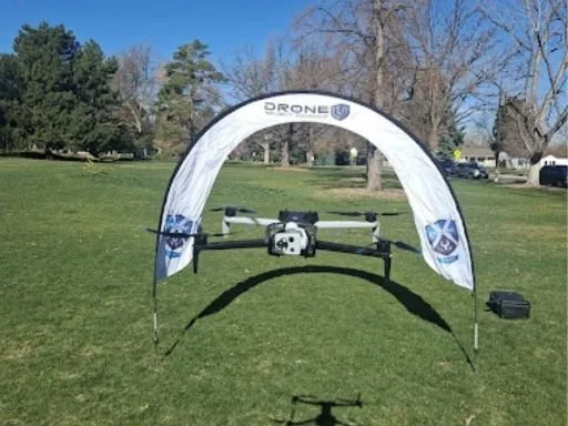
Which Components Determine the Durability of an Unmanned Aircraft?

Which Components Determine the Durability of an Unmanned Aircraft?

by Trent Casi | Jun 15, 2026 | Hardware

Commercial drones face incredibly demanding conditions. Your hardware does not simply reside safely on a shelf or within perfect flying weather. It gets shipped in the back of a truck, operates close to high voltage power lines, and is subjected to corrosive salt...

« Older Entries

Recent Posts

  • Drones: The New Must-Have Tool for Utility Companies
  • How Autonomous Drones Are Transforming Site Inspections
  • How to Choose the Right Enterprise Drone Solution: Complete Guide
  • Why Is High-Accuracy Drone Surveying Essential for Infrastructure Projects?
  • How Does Autonomous Navigation Improve Aerial Survey Results?

Recent Comments

No comments to show.
Satellite map with a polygon boundary drawn over farmland
Interactive mapping tool

Need mapping or drone data for a specific site?

Draw your project boundary on the map, choose deliverables, and request a quote — most people finish in a few minutes.

01Outline the site
02Choose your data
03Get a quote
Open the mapping tool

Our Customers

American Electric Power logo
Chevron logo
Cyberhawk logo
DEPCOM Power logo
The Ohio State University logo
Ames Construction logo
Mortenson logo
Firmatek logo
EagleView logo
Ohio Department of Natural Resources logo
Cleartopia Solutions

Aerial imagery, mapping, data services and geospatial software for energy, engineering, surveying and government teams.

Explore

  • Services
  • Drone Hardware
  • Surveying Equipment
  • Software
  • Training
  • Consulting
  • Customers

Hardware

  • Skydio Drones
  • Freefly Drones
  • Quantum Systems
  • Wingtra

Software

  • Pix4D
  • Point One Navigation
  • Buzz Solutions
  • EagleView
  • SkyFi
  • SatVu

Contact

  • Contact form
  • info@cleartopia.io
  • (720) 917-9381
  • 387 Corona St Suite 585
    Denver, CO 80218

© 2026 Cleartopia Solutions. Denver, Colorado.