

Quantum Systems drone sales, support, training and advisory
Quantum Systems builds electric VTOL fixed-wing drones that take off and land vertically, then cover ground like an airplane. As a Quantum Systems dealer, Cleartopia helps teams choose platforms and sensors for large-area mapping and ISR.
Trusted by teams at









The Quantum Systems lineup
Specifications and availability are set by the manufacturer and can change. We confirm current models, payloads and pricing when we scope your project.
Trinity Pro
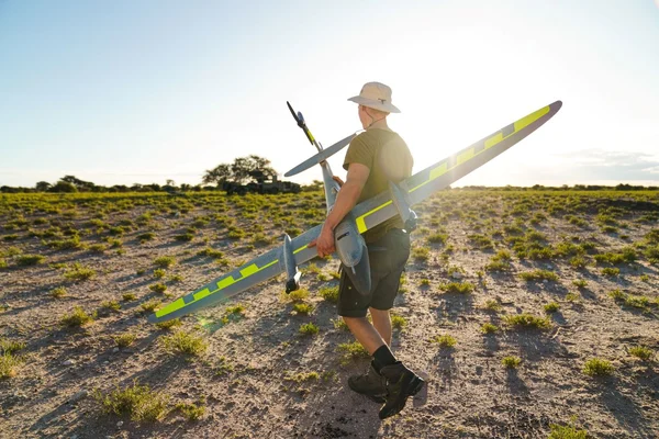
Quantum Systems' electric VTOL fixed-wing mapping drone, now on the Quantum-Skynode autopilot with a Linux mission computer. QBase 3D planning software runs pre-flight self-diagnostics, wind simulation and terrain awareness, and supports A-to-B missions that take off and land in different places for true corridor mapping. A downward-facing LiDAR adds terrain avoidance for safe landings.
RGB, oblique, multispectral and LiDAR sensors swap in seconds with a quick-lock mount. Every system includes the iBase GNSS reference station for PPK processing, and the airframe carries an IP55 rating for tough conditions.
Key specs: Up to 90 min flight time · 700 ha (1,730 ac) or 62 mi corridor per flight · 12.7 lb MTOW · 27 kn wind tolerance in cruise · IP55
Trinity Tactical
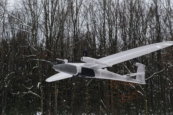
A defense and security version of the Trinity mapping platform that meets NDAA and cybersecurity requirements. The whole system carries in a backpack and one person can have it mission-ready in under two minutes without tools, putting GIS mapping at the tactical edge rather than waiting on imagery from elsewhere.
Onboard geotagging, direct georeferencing and preliminary stitching speed up processing, and the aircraft flies on an AES-encrypted 2.2 GHz link with a low noise signature. Typical tasks include route planning, landing zone reconnaissance and line-of-sight analysis.
Key specs: Up to 90 min flight time · 700 ha or 56 mi corridor per flight · Down to 1 cm GSD · 29 lb backpack system · IP54
Twister
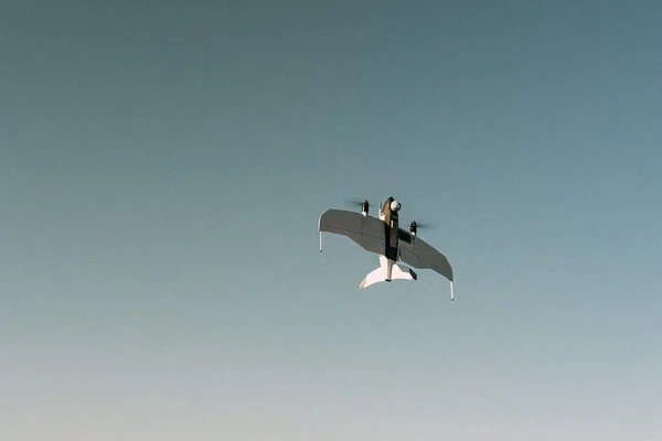
A short-range ISR drone built for team and squad level. It packs into a backpack, is ready in about two minutes without tools, and launches and lands vertically from a space as small as 2 x 2 meters, with a very low noise signature.
The Nighthawk2-UZ gimbal pans a full 360 degrees, and onboard AI detects and classifies objects in the live HD feed. Visual-inertial navigation keeps it flying when GNSS is jammed, and it shares data with ATAK and SitaWare.
Key specs: 90 min endurance · 9 mi (15 km) data link · 8.4 lb MTOW · AES-256 encryption · IP54
Vector AI
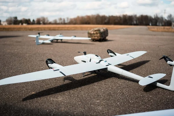
A mid-range ISR system that runs as a fixed-wing VTOL aircraft or converts, without tools, to a multicopter with the same fuselage, avionics, sensors and controls. The multicopter configuration also supports a tether for persistent surveillance.
Dual NVIDIA Jetson Orin modules run AI object detection, classification and tracking on board, and the Raptor 360 EO/IR gimbal includes a laser pointer. Visual-inertial odometry, SLAM and an anti-jam antenna keep it navigating in GNSS-denied and contested areas, and one person can set it up in under three minutes.
Key specs: 180+ min endurance (fixed-wing) · 37+ mi (60 km) data link · 20.9 lb MTOW · AES-256 encryption · IP55
Reliant
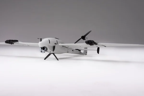
A long-range VTOL fixed-wing system powered by a heavy-fuel engine, delivering more than 10 hours of persistent ISR with no runway, launcher or recovery gear. A two-person team can deploy it in under 15 minutes from a 10 x 10 meter area, including rooftops, vehicles and ships.
Dual swappable payload bays take EO/IR, SIGINT, electronic warfare and SATCOM payloads, and onboard Jetson Orin NX processing handles threat detection and route changes even without a data link. It works with TAK, SitaWare and other coalition command systems.
Key specs: 10+ hr endurance · 99 mi (160 km) data link · 20 lb (9 kg) payload · 99 lb MTOW · IP55
Quantum Systems sensors
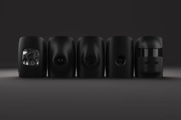
Mapping payloads for the Trinity platforms include the Sony ILX-LR1 and Phase One P5 RGB cameras, the Oblique D2M for 3D capture and the Qube 640 LiDAR. All mount with a tool-free quick-lock and are built into QBase 3D mission planning.
ISR aircraft carry gimbaled EO/IR sensors, the Raptor-360 on Vector AI and the Nighthawk2-UZ on Twister, plus the WASP acoustic sensor that detects and locates artillery and small-arms fire.
Where Quantum Systems fits
Vertical takeoff removes the need for a runway or launcher, while fixed-wing flight covers far more ground per battery than a multirotor. That combination suits large-area and corridor mapping, as well as intelligence, surveillance and reconnaissance missions that need range and endurance.
Common uses
- Large-area and corridor mapping
- LiDAR and oblique 3D capture
- Short, mid and long-range ISR
- Defense and public safety operations
How Cleartopia helps
We help you pick the airframe and sensor for the job, plan collection and processing, and train your team to fly and maintain the system.
Next step