
Revolutionizing Aerial Operations with Cleartopia’s UAS Solutions
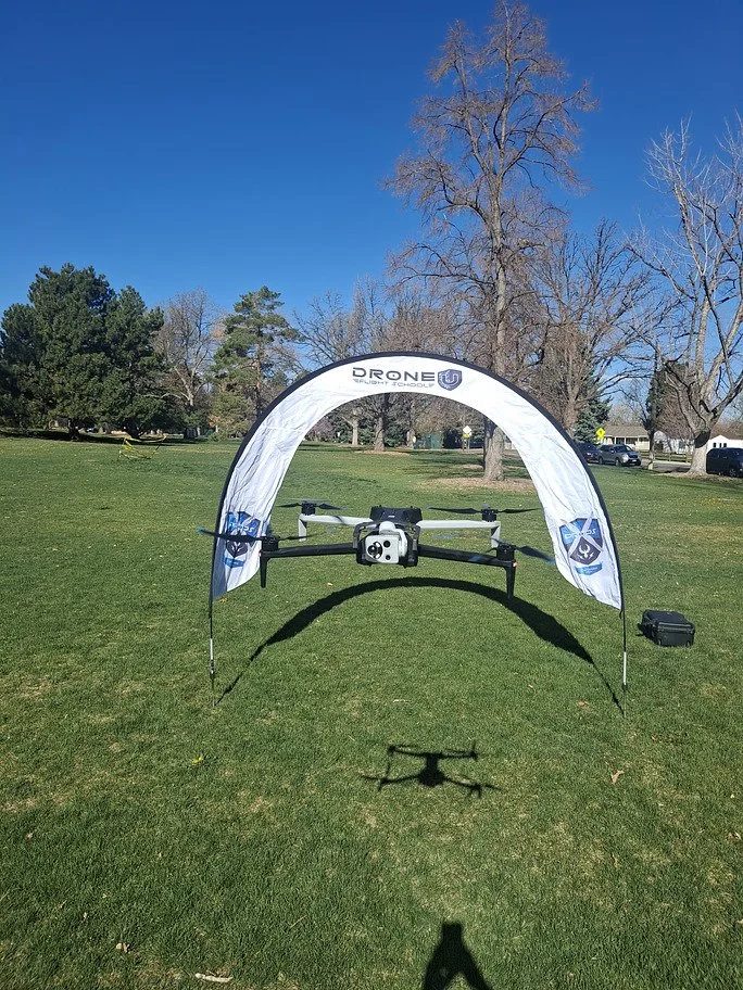
Your trusted partner in advanced aerial technology! Our UAS Hardware solutions deliver accurate inspection results alongside ISR (Intelligence, Surveillance, Reconnaissance) and large-scale mapping needs. We specialize in Skydio Drones and Public Safety Drones, ensuring reliable performance in critical operations. As a proud dealer of Freefly Drones and Quantum System drones, we provide cutting-edge platforms tailored to professional and enterprise applications.
How We Work
Why Choose Cleartopia?

Tailored UAS Solutions for Every Industry
Cleartopia understands that one-size-fits-all solutions don’t work in aerial operations. Every UAS deployment is customized to match industry standards, operational scope, and data processing requirements.

End-to-End Support & Training
From hardware selection and deployment to training and compliance consulting, Cleartopia provides full-scale support to ensure clients maximize their UAS capabilities.

Cutting-Edge Drone Technology
Cleartopia delivers future-ready UAS solutions with the latest AI-powered automation, high-resolution imaging, and real-time analytics.

Unmatched Industry Expertise
With long years of experience in geospatial data acquisition and analysis, Cleartopia is highly specialized in offering high-precision aerial solutions for sectors including:
Energy & Utilities – Powerline, pipeline, and infrastructure inspections.
Surveying & Construction – Geospatial mapping and land surveys with millimeter-level accuracy.
Security & ISR – Surveillance, perimeter monitoring, and intelligence operations.
How Cleartopia Simplifies Aerial Operations
Faster, More Efficient Data Collection
With Cleartopia’s UAS hardware solutions, businesses can capture high-resolution aerial data quickly and accurately, reducing the need for manual inspections and costly fieldwork.
Hazards at power grids and rooftops, along with industrial site locations, become safer to inspect using drones. Our solutions allow organizations to decrease operational risks through better data precision.
Enhanced Safety & Risk Reduction
High-Precision Insights for Smarter Decisions
Cleartopia uses LiDAR imaging combined with AI analytics and thermal sensors mounted on unmanned aerial vehicles for business customers to achieve data-driven decision making.
Regulatory Compliance & Airspace Management
Drone regulations can be complex. Cleartopia ensures that all UAS operations comply with FAA, industry standards, and local airspace regulations, keeping businesses operationally secure.

Frequently Asked Questions
-
Our drones are widely used in:
Infrastructure & Utilities – Inspect power lines, pipelines, and industrial facilities.
Surveying & Mapping – High-accuracy geospatial data collection for engineering and construction.
Security & ISR – Surveillance, intelligence gathering, and emergency response.
-
Cleartopia’s team evaluates your project’s needs, flight requirements, and data collection objectives to recommend the best UAS solution.
-
Yes! Cleartopia offers comprehensive training, consulting, and technical support to ensure clients get the most out of their drone technology.
Ready to Elevate Your Aerial Capabilities?
Contact Cleartopia today to explore cutting-edge UAS hardware solutions tailored to your industry needs. Let’s redefine how you capture, analyze, and utilize aerial data!