
Next-Level Mapping and Data Services for Smarter Decision-Making
From energy fields to engineering sites, Cleartopia helps you see the bigger picture and every tiny detail. Our expert mapping and data services turn raw terrain into real insights, so you can make confident, data-backed decisions faster.
Expert Data Mapping Services You Can Trust
Custom Mapping Solutions for Every Industry
Whether you're in energy, engineering, or land development, our mapping data software is tailored to meet your exact needs. We ensure your maps are accurate and actionable, helping you confidently streamline planning, inspections, and decision-making.
High-Resolution Imagery and Precision Outputs
We use advanced sensors and geospatial technology to collect ultra-clear data. Our maps include orthomosaics, elevation models, and vector extractions, all delivered with the clarity and accuracy you need to reduce risk and increase productivity.
Support That Sticks With You
We don't just deliver a map and disappear. Our specialists stay connected throughout the project, offering consulting, QA, and support at every step. From field logistics to compliance, we make your job easier so your team stays focused.
Training That Pays Off
Want your team to take control of future projects? We've got you covered. We offer in-person and virtual training on software, data processing, and flight workflows. We also team up with DRONEU to provide industry-recognized UAS training packages.
Precision Aerial Mapping for Complex Terrain

High-Accuracy Surveys Without the Hassle
Need elevation models, orthomosaics, or terrain data? Our aerial mapping services use trusted drone platforms to collect clean, actionable data quickly, even in challenging environments.

Get Your Data Fast and Ready to Use
We streamline aerial operations and processing to get your outputs delivered fast. With minimal post-work on your end, your team gets what they need to move forward without delays.

Part of a Complete Mapping Solution
Add your pricing strategy. Be sure to include important details like value, length of service, and why it’s unique.

Why Cleartopia Delivers Better Mapping Outcomes
Authorized Dealers of Industry-Leading Tech
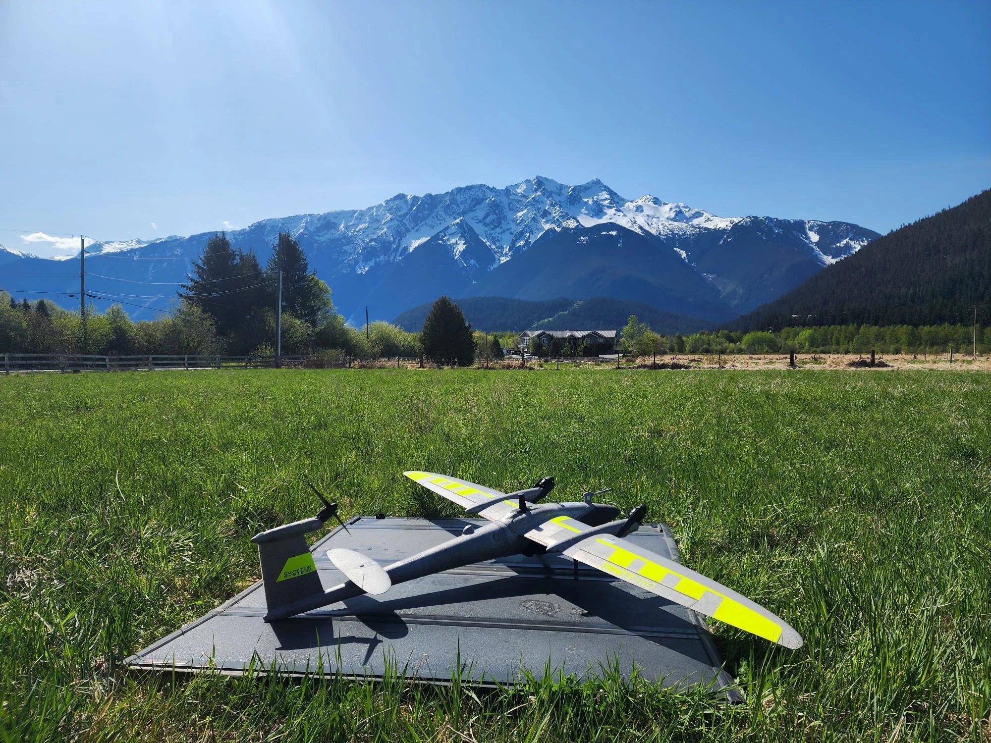
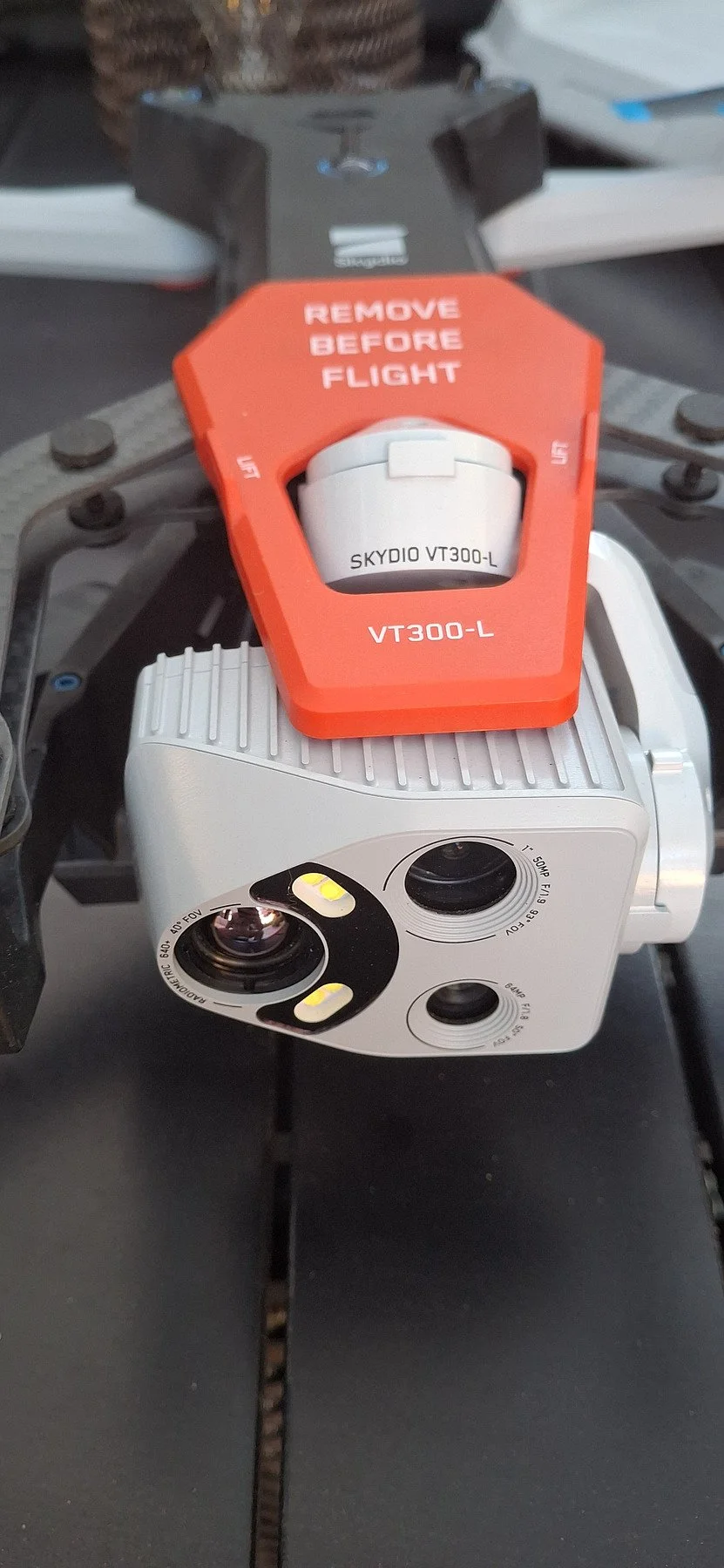
We don’t just use the best. We provide it. Cleartopia is a certified partner for Skydio mapping drones, Wingtra VTOL systems, and Freefly AltaX. With us, you have direct access to best-in-class technology and the expertise to implement it.
We understand the stakes. Whether you’re mapping a utility corridor or surveying critical infrastructure, we deliver results that meet the precision, speed, and quality your mission demands.
Mission-Focused. Results-Driven
Why juggle vendors? We handle everything under one roof — hardware, software, aerial capture, data processing, training, and support. One partner. Zero confusion. Maximum efficiency.
All-in-One Geospatial Partner

Frequently Asked Questions
-
We mainly assist engineering, energy, utilities, ISR, surveying, and government industries. We tailor our solutions to match each industry's spatial data demands and regulatory expectations.
-
We provide and support Skydio, Wingtra, and Freefly drones. Each platform is selected depending on project size, type, and environmental complexities to ensure the best results every time.
-
We provide high-resolution images, point clouds, 3D models, and orthomosaics specifically for your project. Cleartopia emphasizes accuracy, usability, and actionable outcomes so your crew can make quick, intelligent decisions in the field or office.
Ready to Enhance Your Data Mapping Services?
Your project deserves more than generic data. At Cleartopia, we combine experience, technology, and hands-on support to deliver mapping and data services that actually solve problems. Contact us to learn about how we can support your next mission.