
Who We Are
Cleartopia Solutions™ number one focus is on the customer experience to make sure they receive the highest value solution for their technology needs. Cleartopia Solutions™ supports the energy, engineering, ISR, surveying, and government verticals to create the highest value geospatial solutions for their customers. We deliver hardware, software, data collection services, program consulting, training, and support for the geospatial solutions economy. We are based in the world's geospatial capital, Denver, Colorado.
Our Team
-

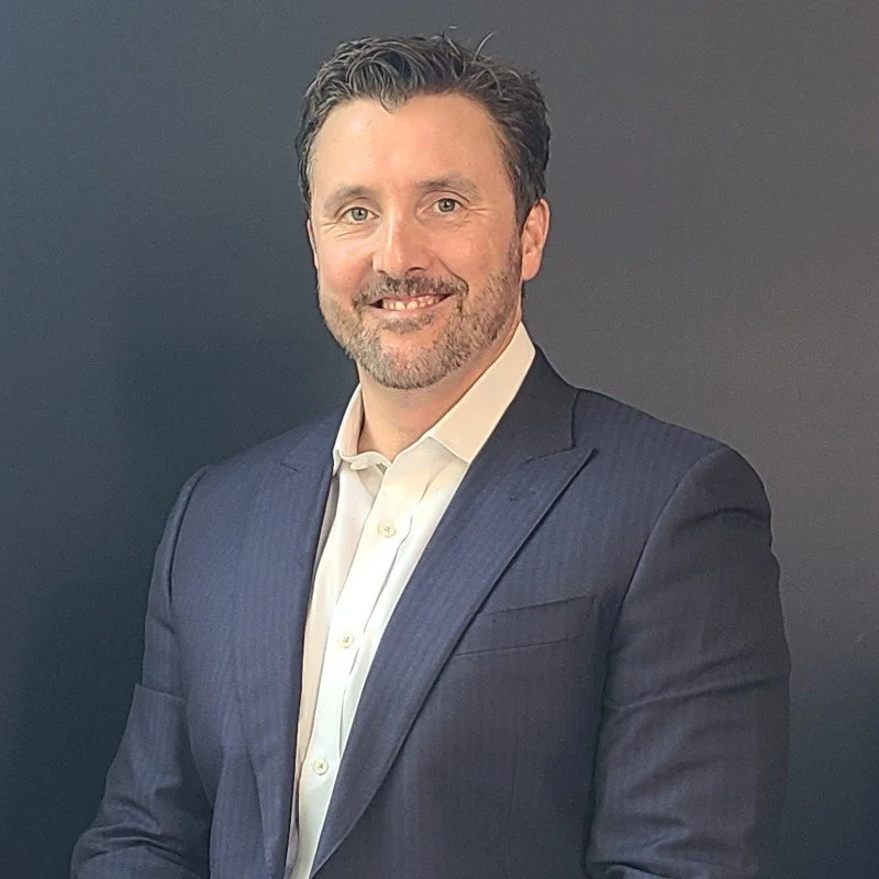
Trent Casi- Founder and Chief Solutions Consultant
Trent has over 20 years of solutions experience in the geospatial industry. He has most recently supported enterprise geospatial solutions in energy, agriculture, surveying, government, and engineering. He has worked extensively with aerial camera sensors, UAS platforms and global geospatial data. He served as past president and vice-president of the American Society of Remote Sensing and Photogrammetry for the Rocky Mountain Region. Trent has worked with high resolution imagery collections with custom aerial and LiDAR sensors as well. He is very focused on finding the right technology solution for the customer and is relentless in making sure the customer has success with that solution. Trent received a BS degree in remote sensing from the Pennsylvania State University. Trent resides in the geospatial alley hub of Denver, CO. In his free time he skis, snowboards, bikes, and plays competitive table tennis. His dog (lab mix) Bear and his two young sons can be seen with him doing mountain activities around the state of Colorado.
-
Gerald Curry- Senior Advisor
Gerald Curry is an advisor with Cleartopia Solutions. Gerald has worked both directly and indirectly in support of the US Defense and Intelligence community for over 20 years. He served 4 years active duty in the US Navy and 6 years reserve time in the New York and Wyoming Air National Guard. Gerald's education includes a bachelor’s degree from State University of New York at Albany with focus on GIS and an MBA from Northeastern University, where he studied Marketing and International Business. Since joining the private sector, his focus has centered on introducing both GOTS and COTS information technology products to government agencies. Gerald has worked at Space Imaging (Lockheed Martin Company), Harris Corp, Esri, Frontier Technology and Palo Alto Networks
-
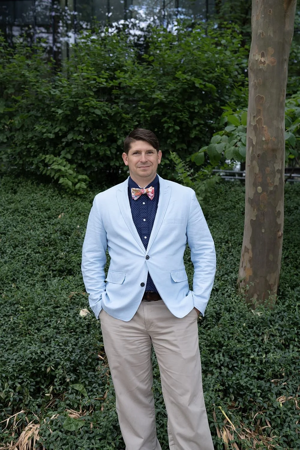
Chris Strasbaugh- FAA Waiver and Regulatory Consultant
Chris Strasbaugh is a consultant specializing in mission planning, waivers, and building sustainable and safe UAS programs. With over 20 years of experience in emerging technologies, advanced imaging, education, and research, he was positioned to launch the UAS program at The Ohio State University in partnership with the College of Engineering and the Center for Aviation Studies. After hundreds of hours of flight supporting a variety of research projects, he took that experience for creating both an academic program as well as an operations unit in the College. He has helped companies obtain waivers in a variety of challenging controlled airspaces to support different types of commercial operations. His interest in travel and technology has fueled his hobby of traveling around the world with his family.
-
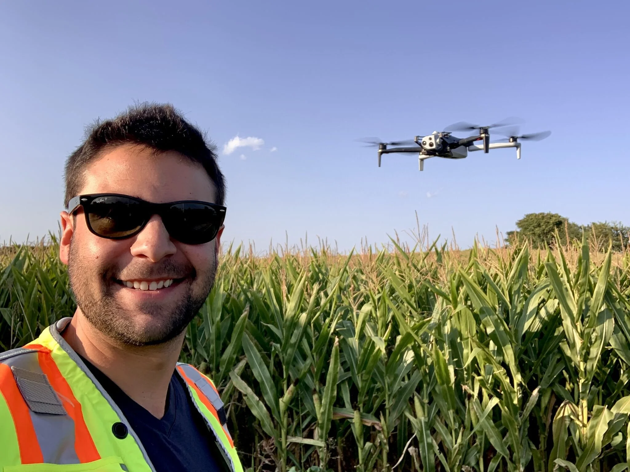
Daniel Tirado- Chief UAS Pilot
Our head pilot Daniel is a remote sensing and customer success professional with 8+ years of experience, mastering aerial and terrestrial survey, utility inspection, and project management. Known for embracing UAS hardware in conjunction with mapping & modeling software to pioneer advancements in civil engineering and utility inspection projects. He is ambitious and future-focused, continually aiming to transcend industry standards and surpass client expectations through innovative technical and creative skills.
In his free time, you'll see him getting off the beaten path on my mountain bike, hiking with his family, taking landscape or automotive photos, washing his car to keep it spotless, or playing soul-crushingly difficult video games. -
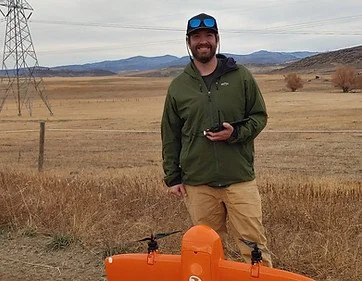
Tyler Ligon- Head of Geospatial Production
Tyler hails from the Yampa Valley of Colorado just outside Steamboat Springs. He earned a master's degree in geomatics engineering and GIS from the University of Colorado. He focuses on the collection and analysis of high quality 3D geospatial data. He utilizes the most current and modern technologies such as cutting edge UAS platforms. He continues to develop his skills as a Geomatics and GIS Specialist. His passion is the collection and analysis of 3D geospatial data. Utilizing the most current tech such as TLS, Photogrammetric and LiDAR-based UAS, and Advanced GIS server and database development. He has advanced experience in photogrammetric and LiDAR based UAS collection methods. These data types can benefit a multitude of industries, including but not limited to, energy and utility, AEC, agriculture, environmental, structural and interior design. Tyler has fulfilled a lifelong desire of learning and hard work, culminating in a career that allows him to do the work he enjoys on a daily basis. He can be found doing plenty of Colorado outdoor activities in his spare time.