

GeoCue lidar sales, support, training and advisory
Drone and handheld LiDAR sensors with LP360 processing software, from a single North American partner.
Trusted by teams at









The GeoCue lineup
Lineup from geocue.com, October 2026. Models and specifications can change, so contact us for current details.
Starter drone LiDAR
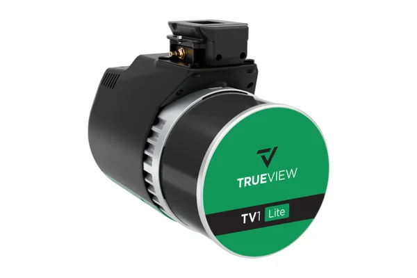
- TrueView 1 Lite: GeoCue's most affordable survey-grade LiDAR and camera payload, sold with a year of processing, support and maintenance.
- TrueView 1: an upgradable starter system offered as an annual plan that bundles the sensor with LP360 Drone, with camera options from 26 to 61 MP.
Survey-grade drone LiDAR
- TrueView 515 and 535: established survey-grade payloads for mapping and engineering work.
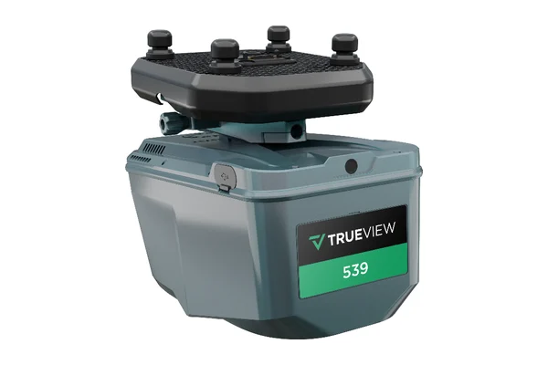
- TrueView 539: a compact 1.45 kg payload pairing a long-range LiDAR scanner with a 26 MP full-frame global-shutter camera.
- TrueView 540 and 550: higher-end survey-grade systems; the 540 was developed with CHC Navigation.
NDAA-compliant drone LiDAR
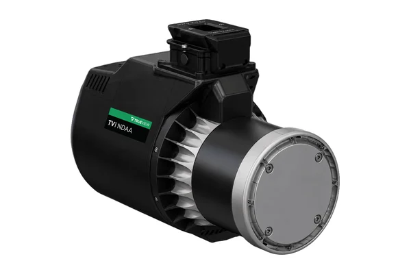
TrueView 1 NDAA and 1 NDAA UL, 641, 651, 655/660, 680/680LR and 720: systems for government and other projects that require NDAA-compliant hardware, from entry-level and compact engineering-grade sensors to long-range options.
Handheld LiDAR
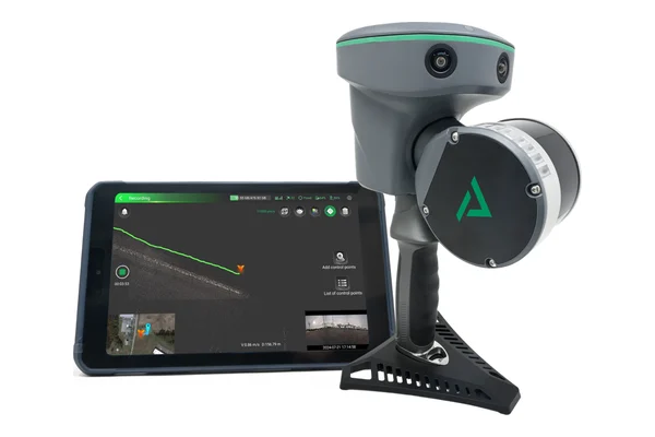
TrueView GO NEO, GO 116S and GO 132S: handheld SLAM scanners for ground-level capture, processed in LP360 Land and combinable with drone data.
LP360 software
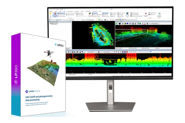
- LP360 Drone: point cloud processing for drone LiDAR and imagery, with add-ons for strip alignment, photo colorization and photogrammetry.
- AI add-ons: AI Ground+, AI Forestry and AI Utilities for automated classification, plus the 3D Photo Engine.
- LP360 Land and LP360 Geospatial: for handheld data and large-scale aerial projects.
Accessories and rentals
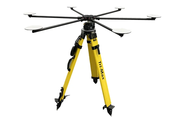
Accuracy Star and concentric LiDAR targets for accuracy checks. GeoCue also offers TrueView sensor rentals.
LiDAR capture and processing in one workflow
GeoCue builds the TrueView line of LiDAR and imaging sensors for drones and handheld scanning, and develops LP360, the software used to process, classify and deliver point cloud data. Because every TrueView sensor ships with LP360, crews can go from flight to finished deliverable without stitching together tools from different vendors.
Cleartopia helps you choose the right TrueView sensor for your aircraft, accuracy needs and budget, then supports setup, training and processing so your team is producing usable data from the first project.
Next step