by chrisdimawsl | Jun 8, 2026 | Mapping & Surveying
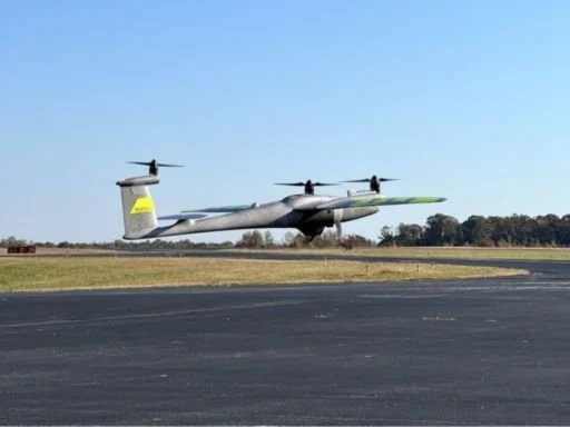
Traditional land surveying is a grind. For decades, crews have gone out with tripods, total stations, and machetes, hacking through brush to take points one by one. It works, sure. We built cities that way. But it is slow, and it leaves huge gaps. If you take a...
by chrisdimawsl | May 15, 2026 | Public Safety
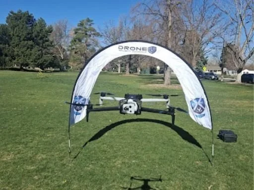
The field of police work has experienced a significant transformation during the past several years. Officers need to respond within shorter timeframes while handling extended geographic regions and managing incidents which may escalate into dangerous situations. The...
by chrisdimawsl | May 12, 2026 | Mapping & Surveying
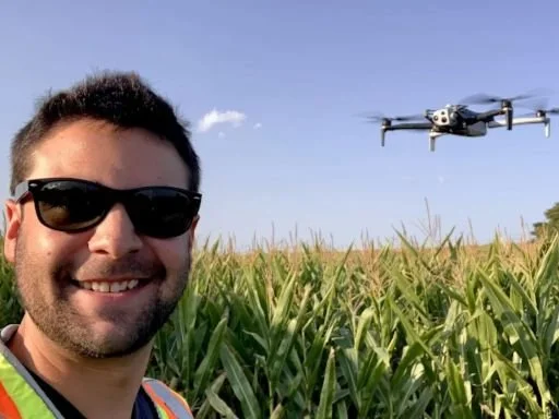
Construction and real estate are moving faster than ever. Clients want updates quickly, developers want accurate site data, and buyers expect better property visuals before making decisions. That is where an aerial mapping drone is changing the game.Instead of...
by chrisdimawsl | Apr 27, 2026 | Public Safety
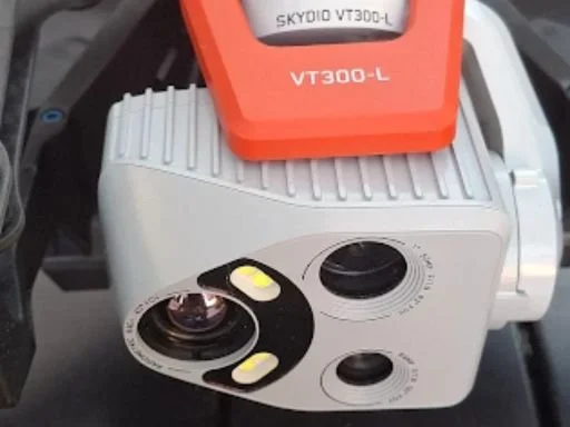
Security is changing fast. What worked five years ago can feel outdated today. Cameras still matter, guards still matter, but businesses are starting to look up, literally. A drone security system brings eyes in the sky, faster response, and wider coverage than most...
by chrisdimawsl | Apr 24, 2026 | Mapping & Surveying
If you’ve ever seen land being measured the old-school way, you know it takes time. Surveyors use tripods to establish points, which they verify by checking their measurements. The method operates successfully, yet its speed is limited, and it permits minor faults to...